

18 March 2015
A proposal to use mapping data and government records to boost self build housing has been awarded one of the top prizes in an ideas competition.
{TEASER}
Andy Reeve and Joyjit Sarjar’s proposal to use Ordnance Survey (OS) and Land Registry data to identify small-scale sites currently disused or unmanaged with the view to bringing these to the housing market has been awarded £24,000 in the GeoVation Challenge.
The Birmingham duo, who won the prize in the Democratising Development category, plan to use the WikiHouse principles of building small scale, easy to build houses on these sites, making the option of self build more accessible.
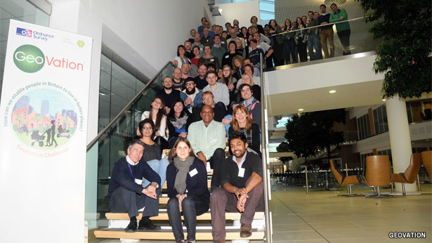
The joint venture between Ordnance Survey and Land Registry called on entrepreneurs, developers, community groups and innovators to devise ideas enabling people in Britain to live in better places. Forty three ideas were submitted, of which nine were selected to pitch for a slice of innovation funding, with three winners awarded the cash.
Mr Reeve said: “Joy and I really wanted OS and Land Registry data to be central to our idea of identifying underused publicly owned land which could be suitable for micro scale development. We would then use an open design platform, WikiHouse, to allow people to literally build their own sustainable, well designed, liveable home. We hope to have a really positive impact on the housing market.”
A new GeoVation Challenge is being planned for a summer 2015 launch.

